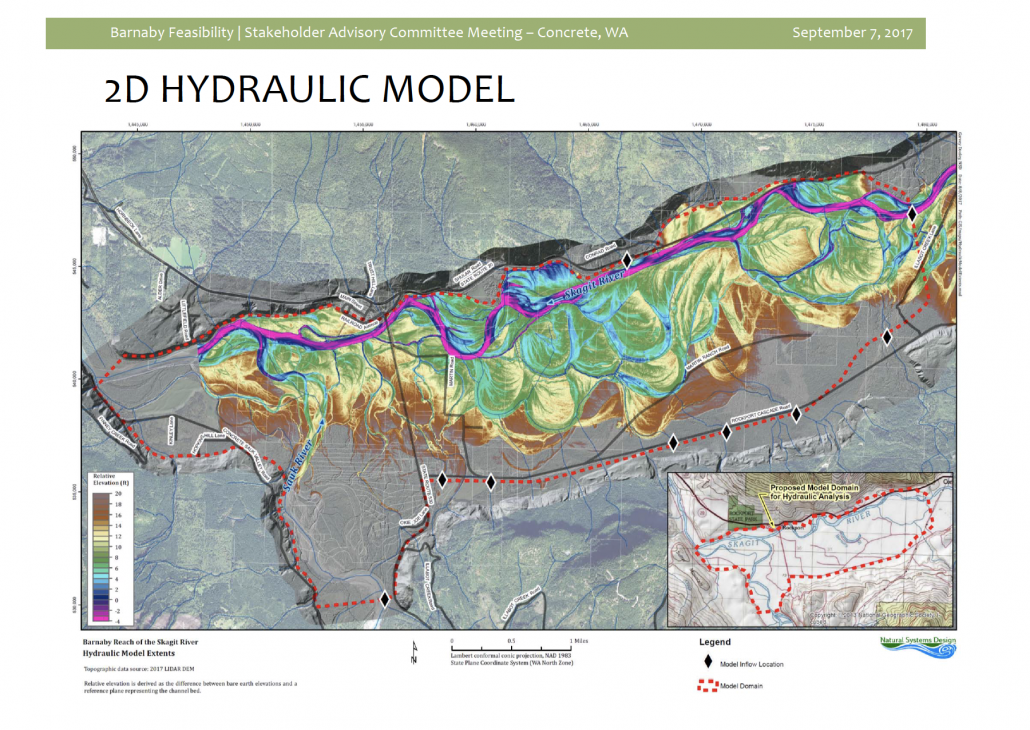
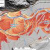
The Washington Department of Natural Resources has just published an informative “Story Map” on the use of LiDAR (Light Detection And Ranging) technology by geologists to study the earth’s surface.
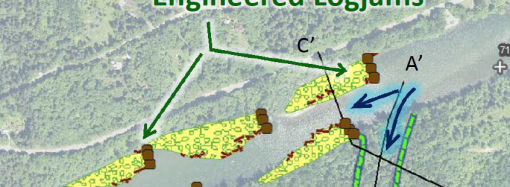
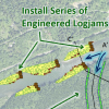
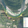
This technology is being used in the development of computer simulation models for the Barnaby Reach project.
To view the story map, “The Bare Earth,” and learn about how LiDAR is used, click on this link:
Thanks, Cynthia Carlstad, for sharing this information!


Leave a Comment
Your email address will not be published. Required fields are marked with *