"Too Many Unknowns," Howard Stafford Tells King 5 News
- Barnaby Project, Featured, News Items, Pinned
- November 5, 2015
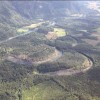
Seattle City Light has been an 800-ton gorilla recklessly throwing its weight around our valley for a long time. In 2014 City Light advanced an extremely dangerous initiative to divert the Skagit River directly toward our neighborhood through Barnaby Slough. And now it’s partially funding and providing study, political influence, and science support for a
READ MORE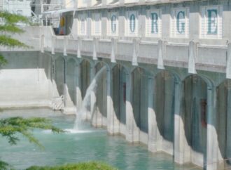
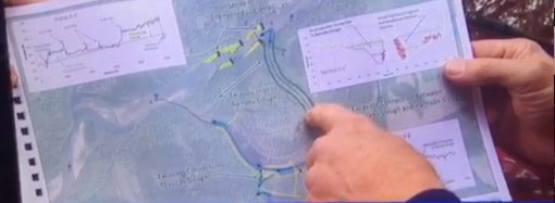
A contingent of concerned citizens including farmers, tribal leaders, Skagit County government leaders and others interested in preserving agricultural land, protecting our communities from flooding, and providing salmon with access to the 37% of the Skagit that exists above the dams, descended on the Seattle City Council chambers this morning, along with King5 News, to
READ MORE
In July, 2021, we sent a letter to the sponsors of the Barnaby Reach project expressing our opposition to any project feature like the dangerous channel originally envisioned by the sponsors. For the past eight years we’ve demanded that the idea of constructing a long, wide and deep channel to divert substantial Skagit River flow
READ MOREIn what we hope is not just a public relations move but a genuine commitment to our community’s well-being, the three powerful organizations sponsoring the Barnaby Reach project have declared their intention not to harm our community or put us at risk of increased flooding or erosion. We are writing to you in response to
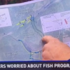
READ MORETribal leaders together with Skagit County leaders have been pushing the City of Seattle and its electric utility department to commit to building fish passage at its dams to provide salmon with access to the 37% of the Skagit River upstream of the dams. Here is an excellent panel discussion that aims to educate folks
READ MORE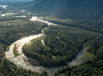
Seattle City Light and its sponsoring partners of the Barnaby Reach Project have begun work dismantling old hatchery infrastructure in the vicinity of Barnaby Slough. We are not opposing this work, and as we’ve repeatedly made clear, we support fisheries resource recovery. However, it’s evident to us that Seattle City Light and the other sponsors
READ MORE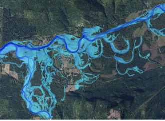
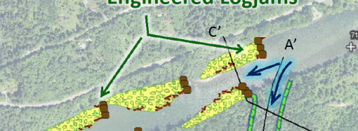
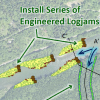
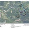
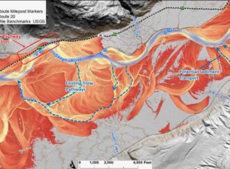
As part of its research work in support of the Barnaby Reach Project, the consulting firm Natural Systems Design studied water levels in the Skagit and Sauk Rivers and within the project area under flood conditions. By measuring water levels at various points, they developed models of what future floods might look like. Measurements from
READ MORE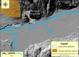
By Dave Hallock Recently several neighbors with homes adjacent to the Barnaby Reach Project area had the opportunity to visit with Dr. Jon L. Riedel, a member of the Barnaby Project’s “Technical Advisory Group.” Dr. Riedel is a geologist at North Cascades National Park and an expert on the geological history of our area. His areas
READ MORE