LiDAR in Washington State
- Barnaby Project, Barnaby Project Information, Uncategorized
- November 16, 2017
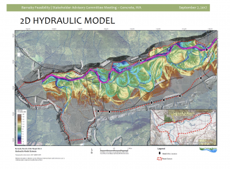
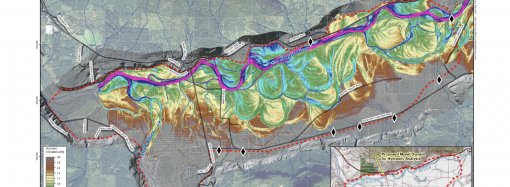
The Washington Department of Natural Resources has just published an informative “Story Map” on the use of LiDAR (Light Detection And Ranging) technology by geologists to study the earth’s surface. This technology is being used in the development of computer simulation models for the Barnaby Reach project. To view the story map, “The Bare Earth,” and
READ MORE