By Beth Easterday
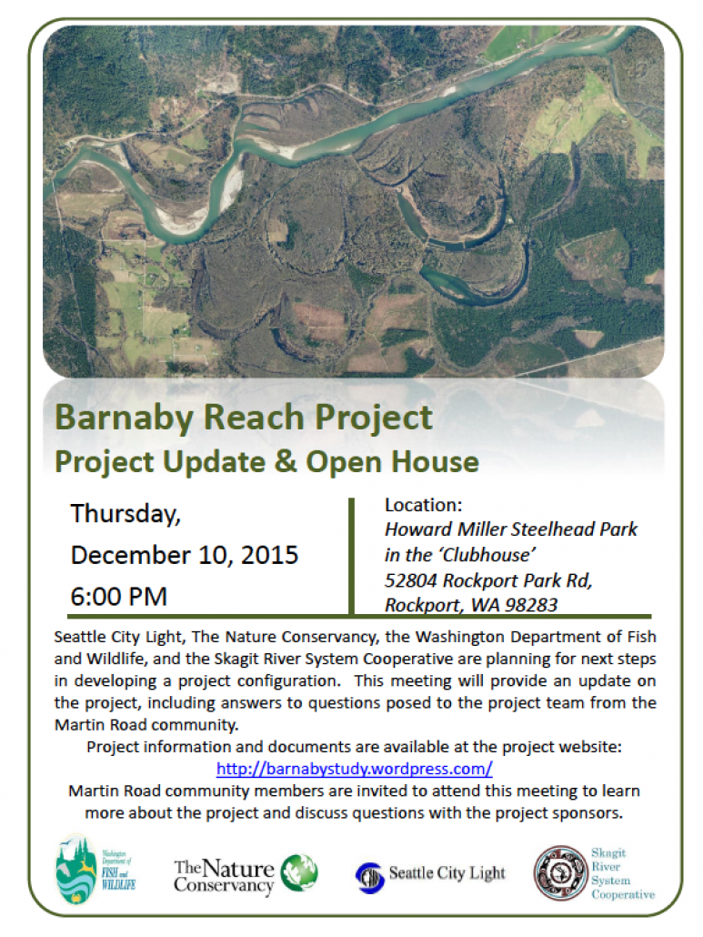
Here is the flyer that is regarding the meeting at Howard Miller Park; post these wherever you think folks with an interest in diverting the Skagit River may gather.
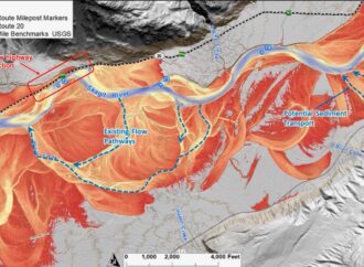
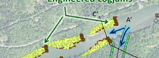
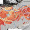
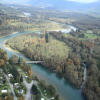
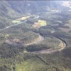
I personally am not interested in seeing what will happen when the river flows downhill into Martin Road and straight towards the Sauk. The topography maps at the County GIS department even show elevation changes that flow right from Barnaby Slough west to Hwy 530. Please take a look at all the GIS maps available in and around this project.
They are available at www.skagitcounty
Click on flyer to enlarge.


Leave a Comment
Your email address will not be published. Required fields are marked with *